How storm surges and heavy rainfall drive coastal flood risk in the US
Carbon Brief Staff
07.27.15Carbon Brief Staff
27.07.2015 | 4:00pmA guest post from Dr Thomas Wahl of the College of Marine Science at University of South Florida and Dr Shaleen Jain at the University of Maine.
Nearly 40% of the US population lives in coastal counties. These are often low-lying and densely-populated areas, which means flooding can have devastating impacts.
For coastal areas, flooding can happen in two main ways: from sustained heavy rain that doesn’t drain away, or from storm surges, when storms drag the sea up and over the coastline. But when they occur together, or in close succession, the consequences can be even more severe.
In a study, just published in the journal Nature Climate Change, we look at how heavy rainfall and high water levels combine to cause “compound flooding”. The results show the risk of compound floods has increased for many major US cities in the last century.
Compound flooding
When a storm weather system is over the sea, its low pressure centre pulls up the surface of the water. As the storm blows onto the land, the wind pushes the sea towards the coast, creating even higher sea levels and battering the coastline with large waves. This is known as a storm surge, which can breach coastal defences and cause flooding. With higher global sea levels, storm surges are more likely to overwhelm sea defences.
Heavy rainfall can combine with a storm surge to cause a “compound flood”. High water levels can impede stormwater draining into the sea, causing flooding inland, or high rainfall can add yet more water to an existing tidal flood. You can see this illustrated in the graphic below.
How the joint occurrence of rainfall and storm surge (large enough to cause direct flooding or to slow down or fully block freshwater drainage) can lead to compound flooding in coastal regions. Credit: Theodore Scontras, University of Maine.
Recent compound floods have caused substantial damages and loss of human life. Flooding caused by Typhoon Haiyan in Thailand in 2013 is one example, which left more than 6,300 people dead. Another is flooding in the UK during the winter of 2013-14, which was a result of high tides, strong winds and persistent rain.
Increased risk
We assembled historical records of rainfall, tide gauge readings, and hurricane tracks to see how often compound floods have occurred at 30 sites around the US coast – shown in the map below. The length of the record differs for each site, but two-thirds have a record at least 65 years long.
Tide gauge locations. Colour represents the number of overlapping years between storm surge and precipitation data records. The numbers in brackets denote the number of rainfall gauges in a radius of 25 km around the tide gauges. Source: Wahl et al. (2015).
We found the number of compound events has increased for many sites, including major cities such as Boston, New York City, Tampa, Houston, San Diego, Los Angeles, and San Francisco.
These changes in the risk of compound flooding are likely to be exacerbated by ongoing sea level rise, which has been identified in other studies as the main driver for changing coastal flood risk.
The Big Apple
For much of the US coastline, there are similar weather patterns behind the arrival of storm surges and heavy rainfall. This is particularly the case along the Gulf and Atlantic coast where tropical cyclones and hurricanes often produce large storm surges and also bring significant amounts of precipitation.
But such connections have long been neglected within flood risk analyses, where usually either one of the two flood causes is investigated in isolation, which can result in an underestimation of the actual flood risk.
We analysed a compound event in New York City to illustrate. In 1971, the Big Apple was hit by a tropical storm Doria, which brought daily rainfall of 118mm and a storm surge of 114cm. We assessed the likelihood of a similar event hitting New York in the 1940s and in the present day.
Considering the storm surge and heavy rainfall separately, we estimate a return period for the selected event of 245 years – this is equivalent to the probability of the event occurring in any one year of 1/245 (or around 0.5%). For an event occurring in the New York climate of the 1940s, and accounting for the links between storm surges and rainfall, this return period is 105 years. In the present day, these links are now stronger, so the return period reduces again to 42 years – in total, a 5.8-fold increase in the risk of an extreme flood.
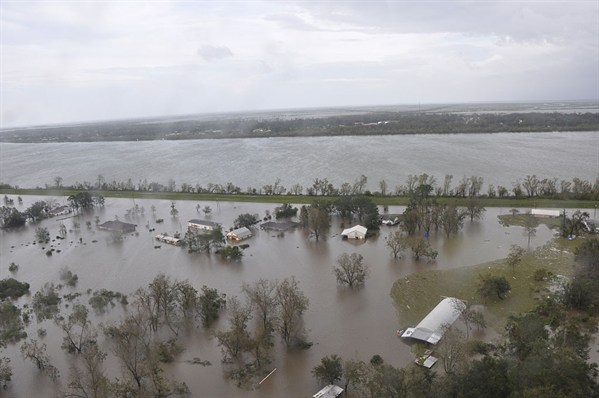
Flooding in Plaquemine Parish, Louisiana, following Hurricane Isaac. Credit: US Coast Guard
Multiplier effect
So why is compound flooding such a threat to coastal areas in the US? The joint impacts of storm surges and heavy rainfall has a multiplier effect on coastal infrastructure. They can cause damage to infrastructure, such as washing-out bridges and overwhelming sewer systems, which has knock-on risks to human safety and public health.
Given the heavy reliance on the coastal zone for natural resources and economic activity in the US, flood preparedness and safety is a key element of long-term resilience to climate change. Yet the most recent Infrastructure Report Card from the American Society of Civil Engineers highlighted the poor condition of much of America’s infrastructure.
As sea levels rise and extreme rainfall events become more frequent as global temperature rise, the risks of compound flooding are likely to increase through this century. By understanding how these risks have changed in the past, we can hope to make better predictions of how they may change in the years ahead.
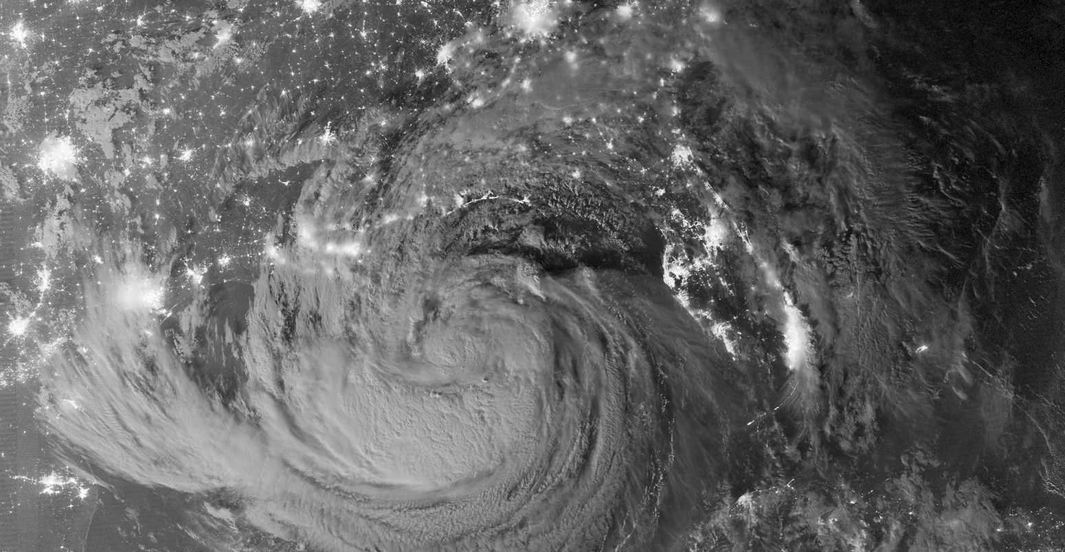
Main image: Tropical storm Isaac at night.
Wahl, T., Jain, S. et al. (2015) Increasing risk of compound flooding from storm surge and rainfall for major US cities, Nature Climate Change, doi:10.1038/nclimate2736


