Guest post: Why climate change could mean heavier bouts of summer rain in the UK

Dr Lizzie Kendon
11.10.15
Dr Lizzie Kendon
10.11.2015 | 1:12pmA guest post from Dr Lizzie Kendon, Manager of the Understanding Regional Climate Change group at the Met Office Hadley Centre in Exeter, UK.
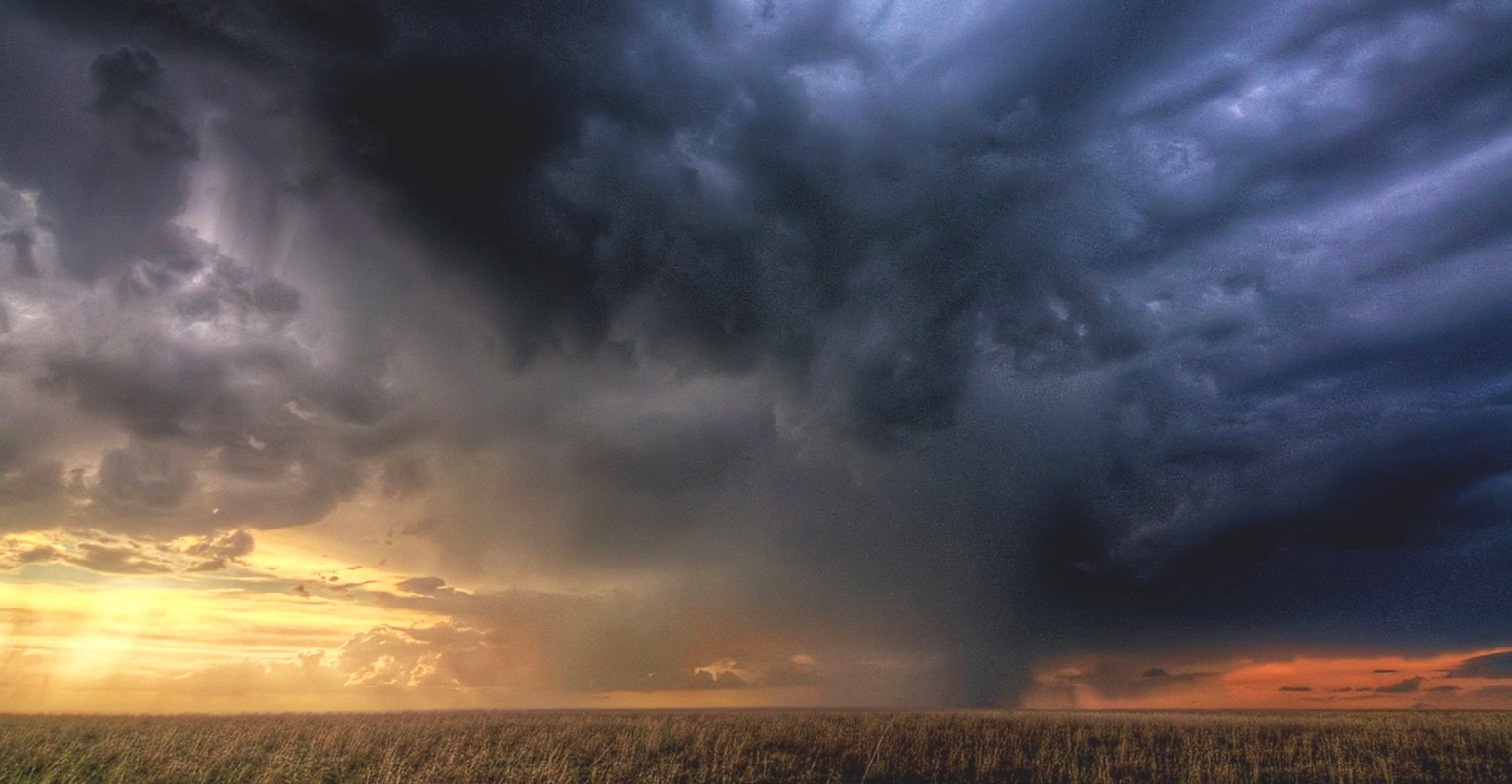
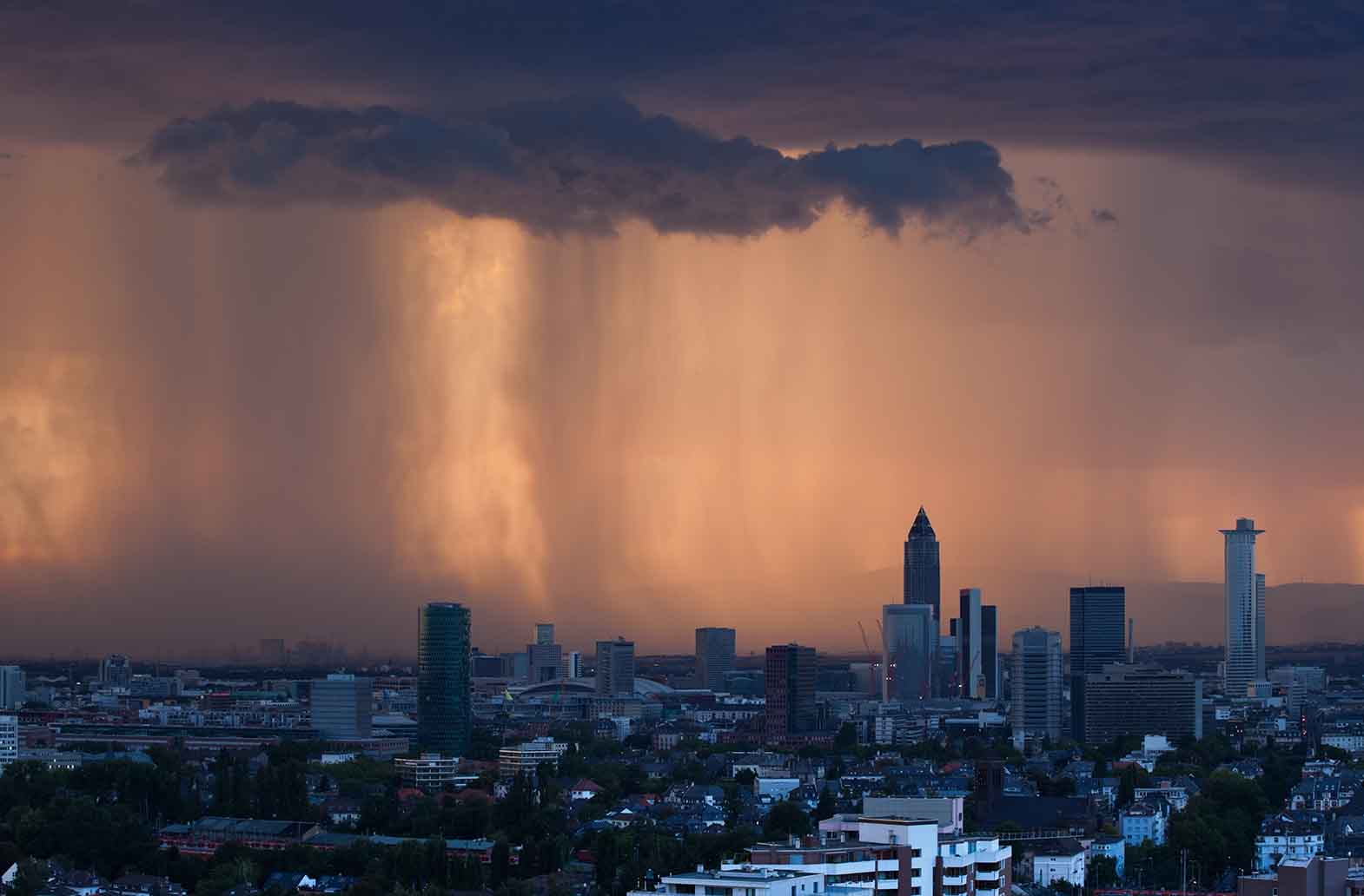
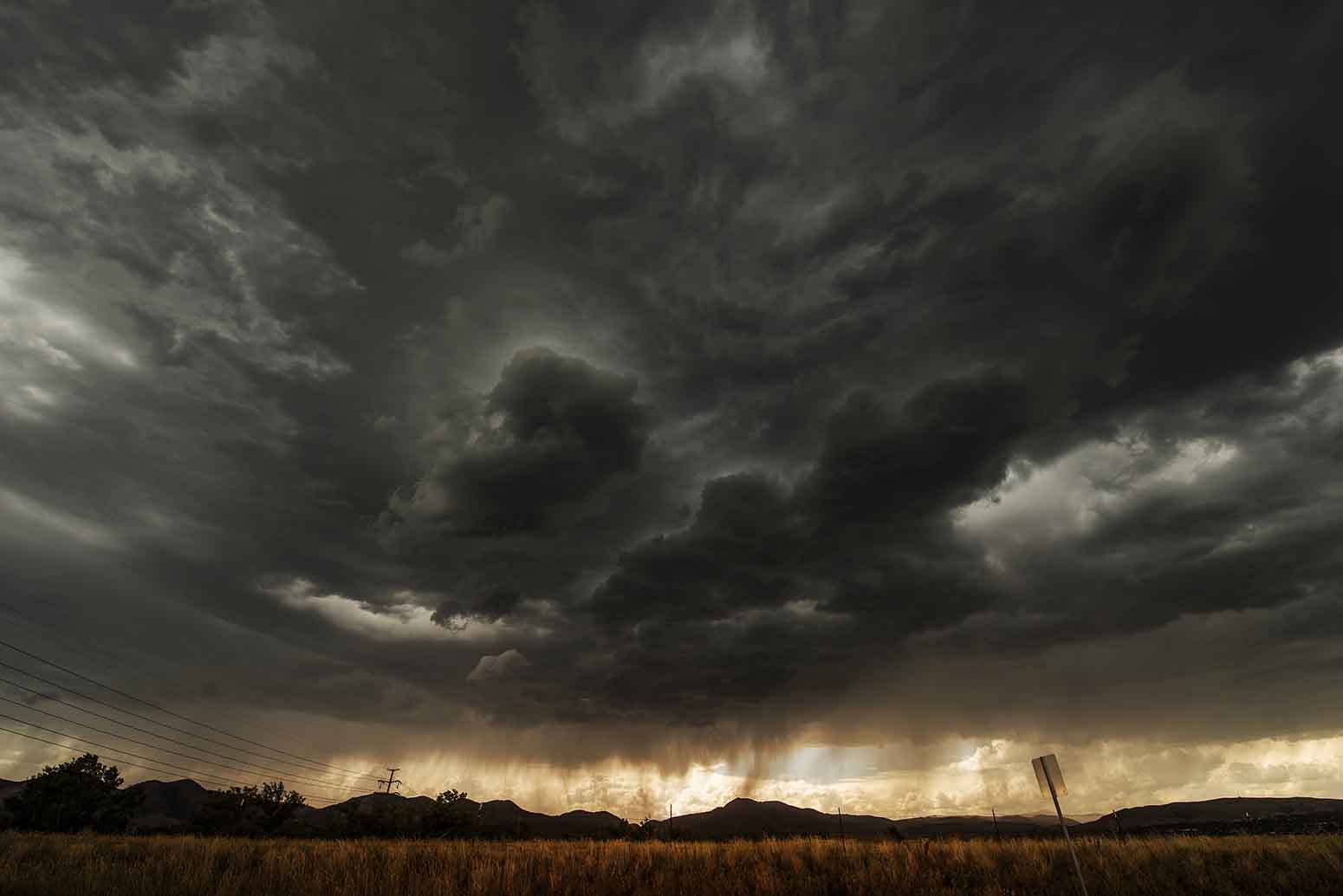
Among the most impressive and damaging types of weather we get in the UK are “convective” storms, which can bring torrential downpours, often accompanied by large hailstones and thunder and lightning.
These powerful-but-localised storms are notoriously difficult to simulate in climate models, which makes it tricky for scientists to make projections of how convective rainfall might change as the world warms up. But it’s an important question to answer because convective rainfall can cause flash flooding, as we saw in south-eastern parts of the UK last summer.
So, what progress are scientists making on the problem?
What is convection?
The word “convection” refers to rising air currents in the atmosphere. As warm air at the Earth’s surface rises, it cools and the moisture it contains condenses to form clouds.
Convection will typically create white and fluffy cumulus clouds, and if the right conditions exist in the atmosphere, these may develop into the towering cumulonimbus clouds that can reach 10,000 metres or even higher.
On hot days, the air warms quickly, which drives convection. This is why you often get a heavy afternoon downpour on a sultry summer day. In the UK, convective storms are most common during summer, whereas they’re the norm in the hot, moist conditions of tropical countries.
Colder months in the UK are typically dominated by frontal rainfall – when warm, less dense air is pushed up over cold air, causing clouds to form in a “front”.
When we get convective rain, it tends to be more intense and shorter-duration than frontal rain. It can also bring lightning and thunder, which is why convective storms are the source of some of our most dramatic weather.
How convection might change in the UK
Scientists expect, and observations support the theory, that as global temperatures rise, the atmosphere will be able to hold more moisture.
According to a relationship known as the Clausius-Clapeyron equation, for each degree of temperature rise, the atmosphere can hold an extra 7% of moisture. This means that when a storm hits, there’s an extra 7% of water vapour that can become rain. The equation gives us a way of estimating the likely rate of increasing heavy rainfall with future warming.
Studies have confirmed that globally, daily precipitation extremes follow this relationship of increasing by 7% for every degree of temperature rise. For a specific area, however, changes in weather patterns and moisture availability mean increases can be higher or lower than this.
There is some evidence from observations that hourly rainfall may actually increase faster with temperature rise. Such short-duration events are often the result of convective storms. It’s thought that the faster increase might be a result of extra heat – released when water vapour condenses to form clouds – invigorating the storm, thus producing more rain.
Why it’s hard to make projections
Scientists use climate models to make projections of how rainfall might change in the future. To make simulating the climate a more manageable task, models divide up the Earth’s surface and overlying atmosphere into a giant grid. They then calculate climate variables, such as temperature, humidity and rainfall, as an average for each grid cell.
Because of limitations to computing power, the grid cells have to be quite large – typically several tens of kilometres across. Otherwise, even with a powerful super-computer, the model would never finish a simulation. One of the consequences of these coarse resolution models is that the grid cells are too big to simulate small-scale processes such as convection.
To work around this problem, we use what’s known as a parameterisation. This simplifies a real-world process into a formula that the model is able to calculate.
While parameterisation captures an approximation of a process and how it changes, it misses the small details of how it works. For example, we know that convection schemes get some things wrong – particularly the timing of daily storms. They’re also unable to capture the higher rate of increase in hourly rainfall extremes.
As a consequence, we have little confidence in future projections of convective rainfall extremes made by coarse resolution climate models.
How we’re overcoming these issues
To overcome the problem of large grid cells, scientists have been developing very high resolution climate models. These have grid cells that are a few kilometres wide, rather than tens of kilometres, but the tradeoff is that they cover a smaller area.
We call these models “convective-permitting” because they can simulate larger convective storms without the need of parameterisation schemes, although small showers are still not represented. Convection-permitting models are typically used in weather forecasting.
So far, there have been very few climate change studies at such high resolution because running the models takes a very long time, even on a supercomputer.
Last year, my colleagues and I completed the first climate change simulations for the UK with a convection-permitting model. This was part of a project called CONVEX, which involves a number of institutions in the UK, including the Met Office and Reading, Newcastle and Exeter universities.
Our simulations gave us a first look at how convection may change in the UK, and they suggest that summer downpours are likely to get heavier in future.
In particular, our model shows that rainfall of 30 mm per hour – which is the threshold we use to indicate likely flash flooding – could be exceeded up to five times more often by 2100. Such findings are important because they may have implications for how future flood risk is managed in the UK.
These results are only based on one climate model, so we need to compare them with other models to give us more certainty about our findings. However, more intensive summer rainfall events are consistent with what we expected in a warmer, more moist environment.
At the Met Office, we are currently working to extend our convection-permitting simulations to many more model runs, and to incorporate similar results from other research centres. All this will allow us to make projections of future summer downpours with greater confidence – ready to use in the next round of climate projections for the UK.
Main image: storm clouds gathering. Credit: Zooey/Flickr
-
Guest post: Why climate change could mean heavier bouts of summer rain in the UK
-
Guest article from @MetOffice's Lizzie Kendon on how UK summer storms might change as the world warms up


